Exploring pathways to sustainable development in the uplands of
Lao PDR.
Axis A: Landscapes and livelihoods: capturing the diversity of local development pathways
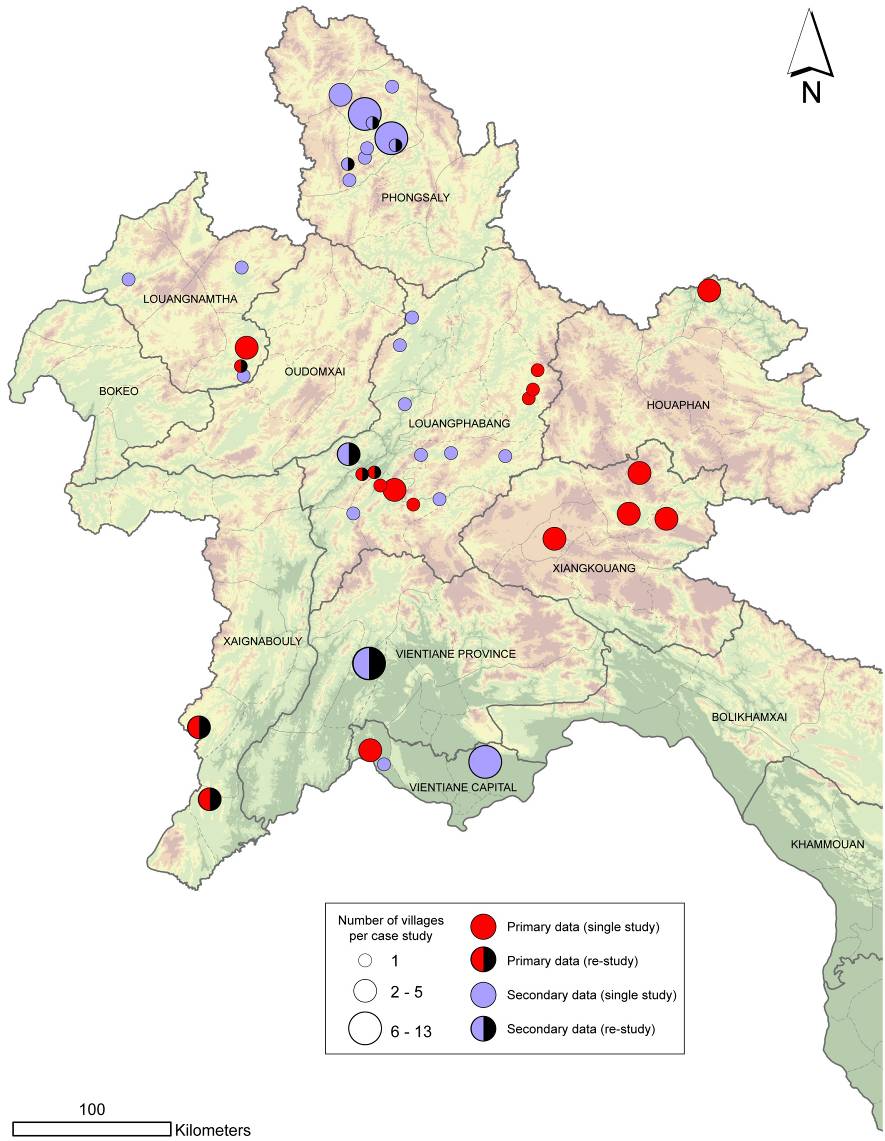
Landscape and livelihood changes have been studied in a representative sample of case study sites selected in the northern uplands of Lao PDR across a gradient of integration to market and diversity of development trajectories (see map). The main objectives were:
- to characterize the diversity of local development pathways and their contribution to land use changes at the regional level,
- to understand the processes and drivers of land use changes and assess their impact on the natural resource base.
At each location, diagnostic activities were managed in close collaboration with local authorities (Departments of Agriculture and Forestry and villages committees) and development projects (NGOs and bilateral cooperation). A team composed of research assistants and students was involved in long term fieldwork (6 months) under the supervision of senior scientists.
Field studies have a strong spatial dimension through the analysis of chronological series of remote sensing data, land use maps and land use change maps incorporated into local Geographic Information Systems (GIS). Bottom-up diagnostic approaches, based on the direct observation of landscapes and livelihoods were combined with top-down initiatives, based on the analysis of land use patterns and their dynamic. The research enlightens the main development issues and provides support to policy making at the regional level.